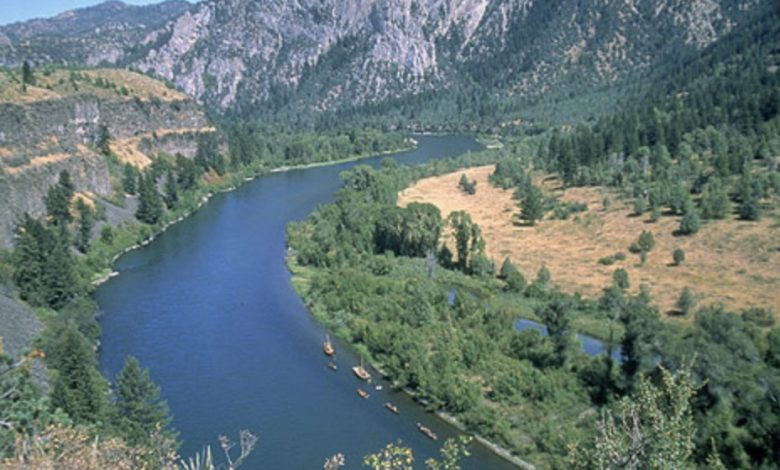
A river valley

A river valley that was created from a U-shaped glaciated valley, can often easily be identified by the V-shaped channel that it has carved. In the middle reaches where a river flows over flatter land, meanders may form through erosion of the river banks and deposition on the inside of bends. Sometimes the river will cut off a loop, shortening the channel and forming an oxbow lake or billabong. Rivers that carry large amounts of sediment may develop conspicuous deltas at their mouths. Rivers whose mouths are in saline tidal waters may form estuaries.
Throughout the course of the river, the total volume of water transported downstream will often be a combination of the free water flow together with a substantial volume flowing through sub-surface rocks and gravels that underlie the river and its floodplain (called the hyporheic zone). For many rivers in large valleys, this unseen component of flow may greatly exceed the visible flow.
Subsurface streams
Most but not all rivers flow on the surface. Subterranean rivers flow underground in caves or caverns. Such rivers are frequently found in regions with limestone geologic formations. Subglacial streams are the braided rivers that flow at the beds of glaciers and ice sheets, permitting meltwater to be discharged at the front of the glacier. Because of the gradient in pressure due to the overlying weight of the glacier, such streams can even flow uphill.
