Lake Débo
Lake Débo is a lake in the central part of Mali, formed by the seasonal flooding of the Niger River basin. It is in the Inner Niger Delta of the Niger River. During high water stages of the river, the delta formed by lakes, creeks, and backwaters form part of Lake Débo.
The inner delta has many wide channels, which are shallow and flooded marshes; this delta extends over a length of 320 kilometres (200 miles) with a width of 80 km (50 mi). Lake Débo during high flow season, is at a distance of 80 km (50 mi) from Mopti on its upstream, on the southern end and 240 km (150 mi) from Timbuktu at its downstream, on the north-eastern end.
It is the largest of many such seasonal wetlands and lakes which form the Inner Niger Delta, and the largest lake within Mali. Its size is largely reduced during the dry season of September to March. The existence of this lake called the “Great Lake” in the inner delta of Niger River between Jenne and Timbuktu in Mali has been established after extensive study of maps of the region extending over a period from 1000 to 1900 AD; 400 maps were studied for the period.
This lake, called the “Great Lake” in the inner delta of Niger River between Jenne and Timbuktu in Mali, was known to Europeans from very early times. The earliest known report of it was in the first millennium BC.
Ptolemy described it as having the shape of a barbell. Study of more than 400 maps of the region created over a period from 1000 to 1900 AD found that the lake appeared on 95 percent; the only feature depicted on more maps was the Nile. The lake has been known variously as Nigrite Palus, Lake Sigisma, Lake Guber, Lake Guarda, Bog/Morais of Guarda, Lake Maberia, Bahar Seafeena,
Lake Dibbie, but it is now known as Lake Débo. The Niger River is assessed as a young river of 2000 years age and is yet to stabilize. However, the natural channels have undergone many meandering changes.
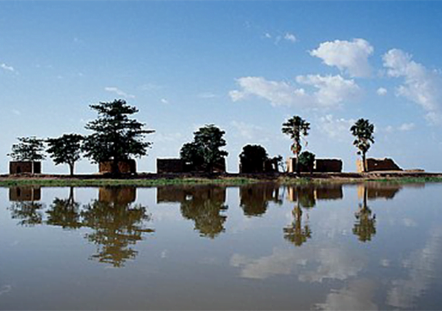
The lake is formed upstream of the confluence of Niger and Bani Rivers. It is the best known lacustrine lake in Mali, which has diameter of 30 km (19 mi) and shallow and hence large vessels can not pass through the lake.
In the upper highland reaches of these rivers, the highland terrain slopes are very gentle resulting in the retardation of flows and creation of this lake. The slope reported before the creation of the lake is 1.5 m (5 ft) per 160 km (100 mi).[1] The lake is divided by a barrier into two zones, the upper and the lower. The barrier extends several kilometres southwards. Beyond the barrier, the lake is narrow and long and its outreach is not visible.[6] The Bara Lisa River joins the Niger above Dire. It exits the deltas from the northern shores of Lake Debo and flows east. The Issa Baris, the main arm of the lake, exits from the lake in a westerly direction and turns northeast to join the Bara Lisa.