River Avon, Bristol
The River Avon /ˈeɪvən/ is an English river in the south west of the country. To distinguish it from a number of other rivers of the same name, this river is often also known as the Bristol Avon. The name ‘Avon’ is a cognate of the Welsh word afon, ‘river’.
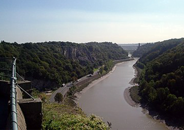
The Avon rises just north of the village of Acton Turville in South Gloucestershire, before flowing through Wiltshire. In its lower reaches from Bath to the Severn Estuary at Avonmouth near Bristol, the river is navigable and known as the Avon Navigation.
The Avon is the 19th longest river in the UK at 83 miles (134 km) although there are just 19 miles (31 km) as the crow flies between the source and its mouth in the Severn Estuary. The catchment area is 2,220 square kilometres (860 sq mi).
The name “Avon” is a cognate of the Welsh word afon [ˈavɔn] “river”, both being derived from the Common Brittonic abona, “river”. “River Avon”, therefore, literally means “river river”; several other English and Scottish rivers share the name.[2][3] The County of Avon that existed from 1974 to 1996 was named after the river, and covered Bristol, Bath, and the lower Avon valley.
The Avon rises east of the town of Chipping Sodbury in South Gloucestershire, just north of the village of Acton Turville.[4] Running a somewhat circular path, the river drains east and then south through Wiltshire. Its first main settlement is the village of Luckington, two miles (3 km) inside the Wiltshire border, and then on to Sherston. At Malmesbury it joins up with its first major tributary, the Tetbury Avon, which rises just north of Tetbury in Gloucestershire.
This tributary is known locally as the Ingleburn, which in Old English means ‘English river’. Here, the two rivers almost meet but their path is blocked by a rocky outcrop of the Cotswolds, almost creating an island for the ancient hilltop town of Malmesbury to sit on. Upstream of this confluence the river is sometimes referred to as the ‘River Avon (Sherston Branch)’ to distinguish it from the Tetbury Branch.[6]
After the two rivers merge, the Avon then turns south east away from the Cotswolds and then quickly south into the clay Dauntsey Vale, where it is joined by the River Marden, until it reaches the biggest town so far, Chippenham. The wide vale is now known as the Avon Vale, and the river flows on via Lacock to Melksham, then turns north-west through Bradford on Avon, where the centre of the town grew up around the ford across the river Avon, hence the origin of the town’s name (“Broad-Ford”). This was supplemented in Norman times by the stone bridge that still stands today.
The Norman side is upstream, and has pointed arches; the newer side has curved arches. The Town Bridge and Chapel is a grade I listed building. It was originally a packhorse bridge, but widened in the 17th century by rebuilding the western side.[8] On the bridge stands a small building which was originally a chapel but later used as a town lock-up.
The Avon Valley between Bradford on Avon and Bath is a classic geographical example of a valley where four forms of ground transport are found: road, rail, river, canal. The river passes under the Avoncliff and Dundas Aqueducts and at Freshford is joined by the Somerset River Frome. Avoncliff Aqueduct was built by John Rennie and chief engineer John Thomas, between 1797 and 1801.