Celebes Sea
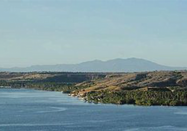
The Celebes Sea /ˈsɛləˌbiːz/ (Indonesian: Laut Sulawesi, Filipino: Dagat Selebes) of the western Pacific Ocean is bordered on the north by the Sulu Archipelago and Sulu Sea and Mindanao Island of the Philippines, on the east by the Sangihe Islands chain, on the south by Sulawesi’s Minahasa Peninsula, and on the west by northern Kalimantan in Indonesia.
It extends 420 miles (675 km) north-south by 520 mi (840 km) east-west and has a total surface area of 110,000 square miles (280,000 km2), to a maximum depth of 20,300 feet (6,200 m). South of the Cape Mangkalihat, the sea opens southwest through the Makassar Strait into the Java Sea.
The Celebes Sea is a piece of an ancient ocean basin that formed 42 million years ago in a locale removed from any landmass. By 20 million years ago, earth crust movement had moved the basin close enough to the Indonesian and Philippine volcanoes to receive emitted debris.
By 10 million years ago the Celebes Sea was inundated with continental debris, including coal, which was shed from a growing young mountain on Borneo and the basin had docked against Eurasia.
The border between the Celebes and the Sulu Sea is at the Sibutu-Basilan Ridge. Strong ocean currents, deep sea trenches and seamounts, combined with active volcanic islands, result in complex oceanographic features.
On 23 May 2013, the Government of the Republic of the Philippines and the Government of the Republic of Indonesia signed an agreement to establish the boundary line that delimits the overlapping Exclusive Economic Zone (EEZ) between the two countries. It has been agreed that north of the boundary line will be under the jurisdiction of the Philippines (named as Mindanao Sea) and Indonesia be south of the boundary line (named Celebes Sea).
The Celebes Sea is underlain by an oceanic plate with a mid oceanic spreading in the center part. This plate is subducted to the south and north. A number of seismic surveys and research drillings were done in this area to gather geological information. The geology of Sulawesi Sea has been described in the Geology of Indonesia Wikibook.