River Loddon
The River Loddon is a tributary of the River Thames in southern England. It rises at Basingstoke in Hampshire and flows northwards for 28 miles (45 km) to meet the Thames at Wargrave in Berkshire. Together, the Loddon and its tributaries drain an area of 400 square miles (1,036 km2).
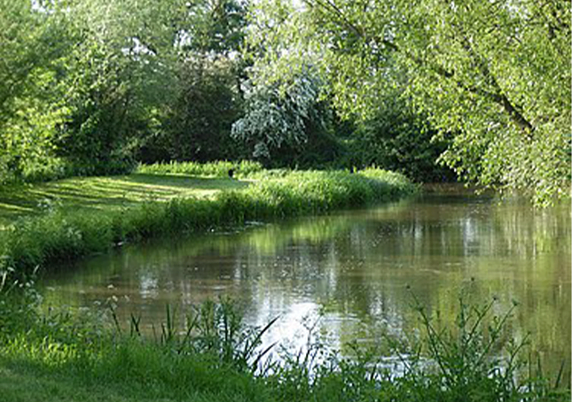
The river had many active mills, and has many remnants of flow modifications by the building up of mill pond reaches with weirs and sluices and the adjacent mill races (also called leats). Most of these used wheels to generate their power – two used water turbines.
One was a silk mill for a short period, and one was a paper mill, with the rest milling corn or producing flour. Several have been converted to become homes or hotels, but Longbridge Mill has been restored and still operates occasionally. The river has been used for recreational and possibly minor commercial navigation and in drier spells it can be safely canoed in some places.
The Loddon is a habitat for diverse wildlife. Former gravel workings have become Loddon Nature Reserve and Dinton Pastures Country Park. A section of it is a designated Site of Special Scientific Interest due to rare populations of bulbs and pondweed. Improvements made to the river under the Water Framework Directive, have included the installation of a fish bypass at Arborfield Mill for migratory species including salmon.
The Loddon rises at West Ham Farm, and two springs north of Bramblys Drive, in Basingstoke, and in its first mile flows under the Festival Place shopping centre of the town centre. The main bus station takes up where the wharf stood by what is no longer the Basingstoke Canal, its westernmost three miles having been filled in. The river emerges again in Eastrop Park, where it runs alongside Eastrop Way which supersedes the disused canal reach, on the park stood Basingstoke Corn Mill in 1873, but by 1932 it was called Vince’s Farm, mill buildings still spanning the river.
The river then passes through water-meadows where it is joined by small streams from the springs and reduced ponds of the north of Black Dam. These had to drain under a wide bend of canal embankment. Basingstoke Upper Mill stood south, 14 metres west of Redbridge Lane, still a corn mill in 1873, fields by 1932, now woodland by a multi-lane roundabout.
Where the flows meet is woodland that was the peat moor, at this point watercress was latterly grown such as in 1961.[6] The Basingstoke Union Workhouse and added workhouse infirmary, stood where the Hampshire Clinic stands, a private hospital. East is the older third of Old Basing and the ruins of medieval Basing House (and Tudor/Jacobean house, north) below an old citadel with remnant ramparts and defensive walls.
A brick railway viaduct of four arches crosses[8] – the South Western main line. The house that was Old Basing Mill, a corn mill in 1932,[4] Barton’s Mill, is 95 metres north. Early 20th century watercress beds continued just north.[4] A suburban hill road with access to an wooded east Basingstoke neighbourhood and key roads of Old Basing are linked by a brick, three-arch bridge of three arches over the Loddon; funded by public subscription, it opened in 1826. Immediately below, the river widens, as it formed a head of water (mill pond) for the Lower Mill, a corn mill in 1872, disused by 1932.