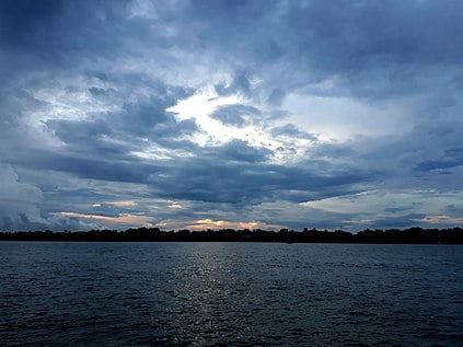
Hooghly River

The Hooghly River (Hugli; Anglicized alternatively spelled Hoogli or Hugli) or the Bhāgirathi-Hooghly, originally and in local tongues the ‘Ganga’, and also called Kati-Ganga, is an approximately 260-kilometre-long (160 mi) distributary of the Ganges River in West Bengal, India.[1] The Ganges splits into the Padma and the Hooghly near Giria, Murshidabad. Today there is a further man-made bifurcation of the river upstream at Farakka. The Padma flows eastward into Bangladesh, whereas the Hooghly flows south through West Bengal. The river flows through the Rarh region, the lower deltaic districts of West Bengal, and eventually into the Bay of Bengal. The upper riparian zone of the river is called Bhagirathi while the lower riparian zone is called Hooghly. Major rivers that drain into the Bhagirathi-Hooghly include Mayurakshi, Jalangi, Ajay, Damodar, Rupnarayan and Haldi rivers other than the Ganges. Kolkata and Hugli-Chinsura, the headquarters of Hooghly (district), are located on the banks of this river.[2]
The vast majority of the water that flows into the Hooghly River is provided by the man-made Farakka Feeder Canal, rather than the natural source of the river at Giria. The Farakka Barrage is a dam that diverts water from the Ganges into the Farakka Feeder Canal near the town of Tildanga in Murshidabad district, located 40 km upstream from Giria. This supplies the Hooghly with water as per agreement between India and Bangladesh. The feeder canal runs parallel to the Ganges, past Dhulian, until just above Jahangirpur where the canal ends and joins the Bhagirathi river. The Bhagirathi then flows south past Jiaganj Azimganj, Murshidabad, and Baharampur. South of Baharampur and north of Palashi it used to form the border between Bardhaman District and Nadia District, but while the border has remained the same the river is now often east or west of its former bed. The river then flows south past Katwa, Nabadwip, Kalna and Jirat. At Kalna it originally formed the border between Nadia District and Hooghly District, and then further south between Hooghly District and North 24 Parganas District. It flows past Halisahar, Chinsurah, Serampore, and Kamarhati. Then, just before entering the twin cities of Kolkata (Calcutta) and Howrah, it turns to the southwest. At Nurpur it enters an old channel of the Ganges, and turns south to empty into the Bay of Bengal through an estuary about 20 mi (32 km) wide.[3]
Ain-i-Akbari,[4] a book by Abu’l-Fazl, describes that the river Ganga and river Sarwasati (Sarsuti) streams of lower Bengal had different flows. According to the footnotes of this book, the colour of the water of the Sarawasati was white, the colour of another stream named Jamuna was blue, and the colour of the Ganga was muddy and yellowish. From Kolkata the main flow of the Hooghly-Bhagirathi (or Ganga) used to run along the side of the Kalighat temple, Baruipur, Jaynagar, Chhatrabhog and Hatiagarh. At that time, between Khiderpore and Sankrail[5] no flow existed. Presently, the stream between Khiderpore and Sankrail became known as KatiGanga. A channel had been dug at the time of Alibardi Khan in the middle of 18th century. This happened with the assistance of Dutch traders, who also set up a toll point on the Hooghly river.[6] So the present reach of the Hooghly is actually the lower part of the historical Saraswati.the capital of Kolkata is located near Hoogly river
