Piñon Canyon Maneuver Site
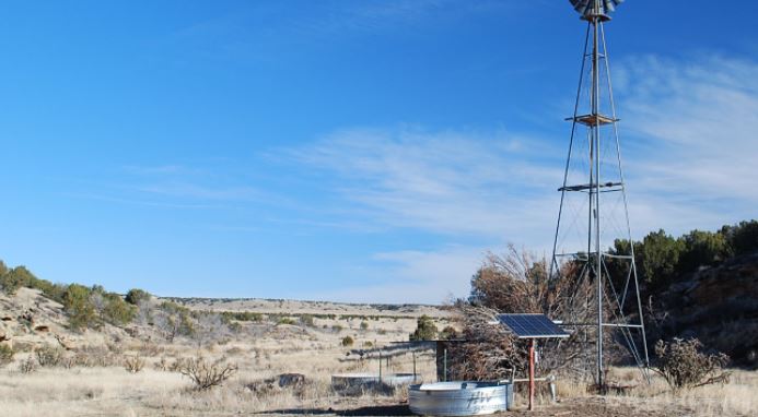
PCMS is located northeast of Trinidad, Colorado, and is part of Las Animas County, Colorado. It borders on Comanche National Grassland to its north. The Purgatoire River, locally known as the Picketwire, is its eastern boundary. Elevations on Site range from 4,300 to 5,800 feet (1,311 to 1,768 m) The Site has a semi-arid, steppe climate. Annual precipitation is 12 to 16 inches (305–406 mm). The terrain of PCMS is flat to rolling and dotted with small, rocky hills and mesas. The Purgatoire River flows in a 300–400 feet deep canyon and its tributaries have cut steep arroyos into the terrain. Vegetation is mostly shortgrass prairie mixed with pinyon and juniper trees.[1]
Picketwire Canyon on the Purgatoire River. The Purgatoire River is the eastern boundary of the PCMS.
Prior to the creation of PCMS this area was lightly populated and devoted almost entirely to ranching and livestock grazing. A branch of the Santa Fe Trail runs near PCMS and ancient Indian rock art and petroglyphs are common in the rocky canyons. Pronghorn, Elk, and Mule Deer are the principal large mammals found in the area.