Lake Erie
Lake Erie is the fourth-largest lake (by surface area) of the five Great Lakes in North America and the eleventh-largest globally.[6][10] It is the southernmost, shallowest, and smallest by volume of the Great Lakes and therefore also has the shortest average water residence time. At its deepest point Lake Erie is 210 feet (64 metres) deep.
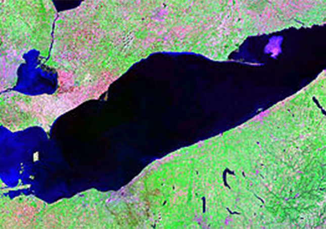
Situated on the International Boundary between Canada and the United States, Lake Erie’s northern shore is the Canadian province of Ontario, specifically the Ontario Peninsula, with the U.S. states of Michigan, Ohio, Pennsylvania, and New York on its western, southern, and eastern shores. These jurisdictions divide the surface area of the lake with water boundaries.
Situated below Lake Huron, Erie’s primary inlet is the Detroit River. The main natural outflow from the lake is via the Niagara River, which provides hydroelectric power to Canada and the U.S. as it spins huge turbines near Niagara Falls at Lewiston, New York and Queenston, Ontario.
Some outflow occurs via the Welland Canal, part of the Saint Lawrence Seaway, which diverts water for ship passages from Port Colborne, Ontario on Lake Erie, to St. Catharines on Lake Ontario, an elevation difference of 326 ft (99 m). Lake Erie’s environmental health has been an ongoing concern for decades, with issues such as overfishing, pollution, algae blooms, and eutrophication generating headlines.
Lake Erie was carved out by glacier ice[6] and in its current form is less than 4,000 years old, which is a short span in geological terms. Before this, the land on which the lake now sits went through several complex stages. A large lowland basin formed over two million years ago as a result of an eastern flowing river that existed well before the Pleistocene ice ages. This ancient drainage system was destroyed by the first major glacier in the area, while it deepened and enlarged the lowland areas, allowing water to settle and form a lake.
The glaciers were able to carve away more land on the eastern side of the lowland because the bedrock is made of shale which is softer than the carbonate rocks of dolomite and limestone on the western side. Thus, the eastern and central basins of the modern lake are much deeper than the western basin, which averages only 25 feet (7.6 m) deep and is rich in nutrients and fish. Lake Erie is the shallowest of the Great Lakes because the ice was relatively thin and lacked erosion power when it reached that far south, according to one view.
As many as three glaciers advanced and retreated over the land, causing temporary lakes to form in the time periods in between each of them. Because each lake had a different volume of water, their shorelines rested at differing elevations. The last of these lakes to form, Lake Warren, existed between about 13,000 and 12,000 years ago. It was deeper than the current Lake Erie, and its shoreline existed about eight miles (13 km) inland from the modern one. The shorelines of these lakes left behind high ground sand ridges that cut through swamps and were used as trails for Indians and later, pioneers.
These trails became primitive roads which were eventually paved. U.S. Route 30 west of Delphos, Ohio, and U.S. Route 20 west of Norwalk and east of Cleveland were formed in this manner. The ancient sand dunes are visible in the Oak Openings Region in Northwest Ohio. There, the sandy dry lake bed soil was not sufficient to support large trees with the exception of a few species of oaks, forming a rare oak savanna.