West Pennine Moors

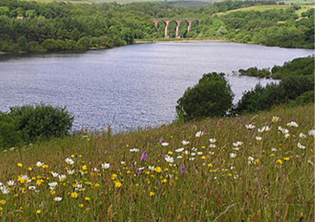
The West Pennine Moors is an area of the Pennines covering approximately 90 square miles (230 km2) of moorland and reservoirs in Lancashire and Greater Manchester, England.[1] It is a Site of Special Scientific Interest.
The West Pennine Moors are separated from the main Pennine range by the Irwell Valley. The moorland includes Withnell, Anglezarke and Rivington Moors in the extreme west, Darwen and Turton Moors, Oswaldtwistle Moors and Holcombe Moors. These moors are lower in height than the main spine of the South Pennines. At 1,496 feet (456 m), the highest point is at Winter Hill. The area is of historical importance with archaeological evidence of human activity from Neolithic times.
The area is close to urban areas, the dramatic backdrop to Bolton, Blackburn and Bury and neighbouring towns affording panoramic views across the Lancashire Plain and the Greater Manchester conurbation. The moorland is surrounded by the towns of Bolton, Chorley, Darwen, Horwich, Ramsbottom, Haslingden and Oswaldtwistle. Notable structures include Rivington Pike Tower, Winter Hill transmitting station, Peel Monument near Holcombe and the Jubilee Tower on Darwen Moor.
United Utilities owns around 40% of the land for water catchment. The company operates four information centres at Rivington, Jumbles Country Park, Roddlesworth and Haslingden Grane.
It is possible that Mesolithic hunting camps existed on the moors but evidence is rare. The area was then covered by forest which Neolithic and Bronze Age settlers began to clear. More forest was cleared by the Anglo-Saxons and Vikings. Place names such as clough, fell and moss suggest they were named by Norse settlers. Parts of the moorland were within the Royal Hunting Forests in the Middle Ages. The landscape continued to change as a result of enclosures in the middle of the 16th century.[3]
Cheetham Close above Edgworth is the site of a destroyed Bronze Age megalith and is a scheduled ancient monument.[4] On Anglezarke Moor are two prehistoric sites, Pikestones and Round Loaf, a landmark clearly visible from the route across Great Hill from White Coppice.
A burial mound from about 1500 BC was discovered on Winter Hill around 0.5 km west of the summit. Another site, 1 km west of the summit, at Noon Hill Saucer Tumulus, is a burial site consisting of two concentric stonewalls which had two sets of burnt human bones, a broken urn containing more bones, two flint arrow heads and flint sacrificial knife in the centre. The site has been dated to around 1100 BC.
