Lake Roland (park)
Lake Roland Park is a city/county park encompassing over 500 acres of woodland, wetlands, serpentine barrens, rare plants and rocky plateaus surrounding Lake Roland in Baltimore County, Maryland.
The park is located near the intersection of Falls Road and Lake Avenue, adjacent to the Falls Road Light Rail Stop of the Baltimore Light Rail, which runs from Cromwell Station near Glen Burnie in Anne Arundel County in the south to Hunt Valley of Baltimore County.[3][4] The line runs along a railroad embankment and trestle over the lake above the dam, cutting the park into a two-thirds wooded northern part and the one-third southern portion around the dam, picnic groves, pavilion and pumping station.
Though the park is located just outside the northern limits of Baltimore city, it is owned by the city and operated as a park since the 1920s by the Baltimore City Department of Recreation and Parks and is now leased to neighboring Baltimore County and operated by their parks agency, in a similar arrangement to the situation with Fort Smallwood Park, several miles southeast of the city along the Patapsco River’s south shore in Anne Arundel County, and transferred for lease to that suburban county’s jurisdiction.
After years of disrepair, the park was temporarily closed on December 16, 2009, when Baltimore County assumed operation of the Park for which Baltimore City’s government still “retains title,” for $6 million in extensive renovation, working with the Wallace Montgomery and Human & Rohde, Inc. construction companies, including “pavilions, playgrounds, trails, bridges and even a dog park.” Under the new administration of Baltimore County’s Parks and Recreation, the park was reopened to the public on Friday, October 14, 2011.
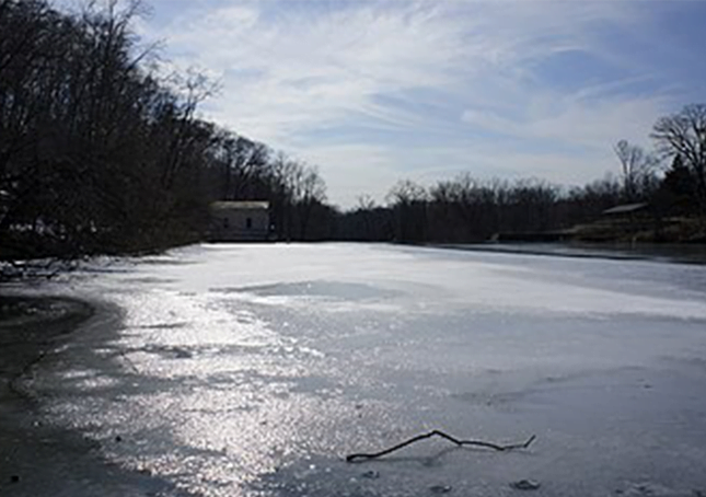
The lake was constructed in the late 1850s after the city’s 1854 purchase of the assets of the privately owned Baltimore Water Company, (founded 1805), following a long political controversy about the company’s failure to extend water lines and service into the then outlying areas of town after the most recent annexation of 1818 which moved the city’s northern boundary to then-called Boundary Avenue (today’s North Avenue).
The “Beaver Dam” marble old pumping station on the eastern shore of the lake contains a marble pedestal engraved with the dates and names of the pertinent officials and contractors involved in its construction and completion in 1860–61, along with another stone tablet that used to lie at the dam’s western end before its reconstruction in the mid-1990s by the city.
Further to the south, the city had also just purchased the former Lloyd Nicholas Rogers estate “Druid Hill”, first settled in the mid-1660s and with manor plantation houses reconstructed several times since, most recently in 1800 with what later became called the “Mansion House”. It formed the third largest municipal landscaped park in the country (after Central Park in New York City and Fairmount Park in Philadelphia).
Druid Lake was carved out, constructed and landscaped to add capacity to the newly expanded first municipal water supply system using the waters of the inter-connecting Jones Falls which flowed south through the central city to the Northwest Branch of the Patapsco River and the Baltimore Harbor. The system of parks for the City of Baltimore along the various stream valleys with inter-connected landscaped boulevards or parkways was designed and laid out by the famous landscape architect and developer Frederick Law Olmsted and the company later established by his sons in two famous reports in 1904 and 1926, of which Lake Roland and its Dam formed and integral part.