Surrey
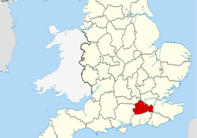
Surrey (/ˈsʌri/)[2] is a county in South East England which borders Kent to the east, East Sussex to the southeast, West Sussex to the south, Hampshire to the west, Berkshire to the northwest, and Greater London to the northeast. With about 1.2 million people, Surrey is the 12th-most populous English county, the third-most populous home county, after Kent and Essex, and the third-most populous in the Southeast, after Hampshire and Kent.
Surrey is a relatively affluent county. It has the highest proportion of woodland of counties in England. It has four horse racing courses, and golf courses including the international competition venue at Wentworth.
Guildford is popularly regarded as the county town, although Surrey County Council is based extraterritorially at Kingston upon Thames. Surrey is divided into eleven districts.
Surrey is divided in two by the chalk ridge of the North Downs, running east–west. The ridge is pierced by the rivers Wey and Mole, tributaries of the Thames, which formed the northern border of the county before modern redrawing of county boundaries, which has left part of its north bank within the county. To the north of the Downs the land is mostly flat, forming part of the basin of the Thames. The geology of this area is dominated by London Clay in the east, Bagshot Sands in the west and alluvial deposits along the rivers.
To the south of the Downs in the western part of the county are the sandstone Surrey Hills, while further east is the plain of the Low Weald, rising in the extreme southeast to the edge of the hills of the High Weald. The Downs and the area to the south form part of a concentric pattern of geological deposits which also extends across southern Kent and most of Sussex, predominantly composed of Wealden Clay, Lower Greensand and the chalk of the Downs.
Much of Surrey is in the Metropolitan Green Belt. It contains valued reserves of mature woodland (reflected in the official logo of Surrey County Council, a pair of interlocking oak leaves). Among its many notable beauty spots are Box Hill, Leith Hill, Frensham Ponds, Newlands Corner and Puttenham & Crooksbury Commons.
Surrey is the most wooded county in England, with 22.4% coverage compared to a national average of 11.8%[4] and as such is one of the few counties not to recommend new woodlands in the subordinate planning authorities’ plans. Box Hill has the oldest untouched area of natural woodland in the UK, one of the oldest in Europe.[citation needed] In 2020 the Surrey Heath district had the highest proportion of tree cover in England at 41%.[5] Surrey also contains England’s principal concentration of lowland heath, on sandy soils in the west of the county.
Agriculture not being intensive, there are many commons and access lands, together with an extensive network of footpaths and bridleways including the North Downs Way, a scenic long-distance path. Accordingly, Surrey provides many rural and semi-rural leisure activities, with a large horse population in modern terms.
The highest elevation in Surrey is Leith Hill near Dorking. It is 294 m (965 ft) above sea level and is the second highest point in southeastern England after Walbury Hill in West Berkshire which is 297 m (974 ft).