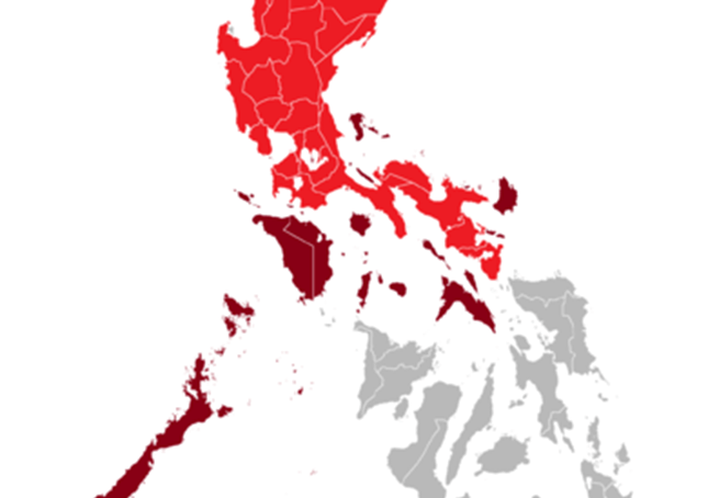
Luzon
Luzon (Tagalog pronunciation: [luˈzon] or [luˈson]) is the largest and most populous island in the Philippines. It is ranked 15th largest in the world by land area. Located in the northern portion of the archipelago, it is the economic and political center of the nation, being home to the country’s capital city, Manila, as well as Quezon City, the country’s most populous city. With a population of 53 million as of 2015, [2] it contains 52.5% of the country’s total population and is the fourth most populous island in the world.
Luzon may also refer to one of the three primary island groups in the country. As such, it includes the Luzon mainland, the Batanes and Babuyan groups of islands to the north, Polillo Islands to the east, and the outlying islands of Catanduanes, Marinduque and Mindoro, among others, to the south. The islands of Masbate, Palawan and Romblon are also included, although these three are sometimes grouped with the Visayas.
The name Luzon is thought to derive from lusong, a Tagalog word referring to a particular kind of large wooden mortar used in dehusking rice. A 2008 PIDS research paper by Eulito Bautista and Evelyn Javier provides an image of a lusong, explaining:
Traditional milling was accomplished in the 1900s by pounding the palay with a wooden pestle in a stone or wooden mortar called lusong. The first pounding takes off the hull and further pounding removes the bran but also breaks most grains. Further winnowing with a bamboo tray (bilao) separates the hull from the rice grains. This traditional hand-pounding chore, although very laborious and resulted in a lot of broken rice, required two to three skilled men and women to work harmoniously and was actually a form of socializing among young folks in the villages.
Luzon was originally inhabited by Negritos, before Austronesians from Taiwan arrived and displaced them. Some of the Austronesian peoples formed highland civilizations, and others formed lowland coastal states. Highland civilizations were located in the mountains, and developed plutocracies based on agriculture. An example was the Igorot Society, whose members built many of the rice terraces of the Cordillera Mountains.
Among the most notable of these are the Banaue Rice Terraces. As for the coastal states, some were Hindu-Buddhist kingdoms, some were Muslim principalities, and some were ethnoreligious tribes. These states had trading connections with Borneo, Java, Sumatra, Malaya, Indochina, Bengal, India, Korea, Okinawa, Japan and China, long before the Spaniards established their rule.
Beginning just before 1000 CE, the Tagalog, Kapampangan, and Pangasinan peoples of south and central Luzon established several major coastal polities, notably Maynila, Tondo and Namayan. The oldest known Philippine document, written in 900AD, is the Laguna Copperplate Inscription, which names places in and around Manila Bay and also mentions Medan, a place in Indonesia.[8] These coastal Philippine kingdoms were thalassocracies, based on trade with neighboring Asian political entities, and structured by leases between village rulers (Datu) and landlords (Lakan) or Rajahs, by whom tributes were extracted and taxes were levied.
There was also a Buddhist polity known as Ma-i or Maidh, described in Chinese and Bruneian records in the 10th century AD, although its location is still unknown and scholars are divided on whether it is in modern-day Bay, Laguna or Bulalacao, Mindoro.