River Conwy
The River Conwy (Welsh pronunciation: [ˈkɔnʊɨ]; Welsh: Afon Conwy) is a river in north Wales. From its source to its discharge in Conwy Bay it is 55 kilometres (34 mi) long and drains an area of 678 square km.[2] “Conwy” was formerly Anglicised as “Conway.”
The name ‘Conwy’ derives from the old Welsh words cyn (chief) and gwy (water), the river being originally called the ‘Cynwy’.
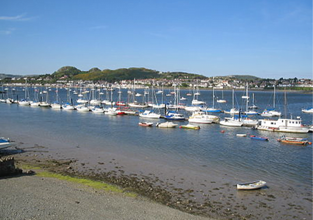
It rises on the Migneint moor where a number of small streams flow into Llyn Conwy, then flows in a generally northern direction, being joined by the tributaries of the rivers Machno and Lledr before reaching Betws-y-Coed, where it is also joined by Afon Llugwy. From Betws-y-coed the river continues to flow north through Llanrwst, Trefriw (where it is joined by the Afon Crafnant) and Dolgarrog (where it is joined by Afon Porth-llwyd and Afon Ddu) before reaching Conwy Bay at Conwy. A local quay, Cei Cae Gwyn, is located on its bank. During spring tides the river is tidal as far as Tan-lan, near Llanrwst.
The Conwy is bounded to the east by the rolling ancient mudstone hills of the Silurian period, the Migneint Moors. These acid rocks are generally covered in thin, often acid soils and for large parts of the upland areas the cover is of moor-grass — Mollinia spp and Erica communities. As a result, the water entering the river tends to be acidic and often coloured brown with humic acids.
To the west, the catchment is underlain by older Cambrian rocks which are harder and the landscape is, as a consequence, more dramatic with high craggy hills and mountains, through which the river falls in cascades and waterfalls. Excellent examples of torrential river geomorphology can be seen at Conwy Falls and in the Lledr Gorge. The land to the east is highly forested with planted non-native conifers.
On the western side of the valley are a number of lakes and reservoirs. The rocks are also rich in minerals and there are many abandoned mine sites where copper, lead and silver have been mined since Roman times.
The river valley downstream of Betws-y-Coed is relatively wide and fertile, and supports dairying and sheep rearing. In wintertime these pastures are used to nurture the sheep brought down from the mountains to avoid the worst of the winter weather.