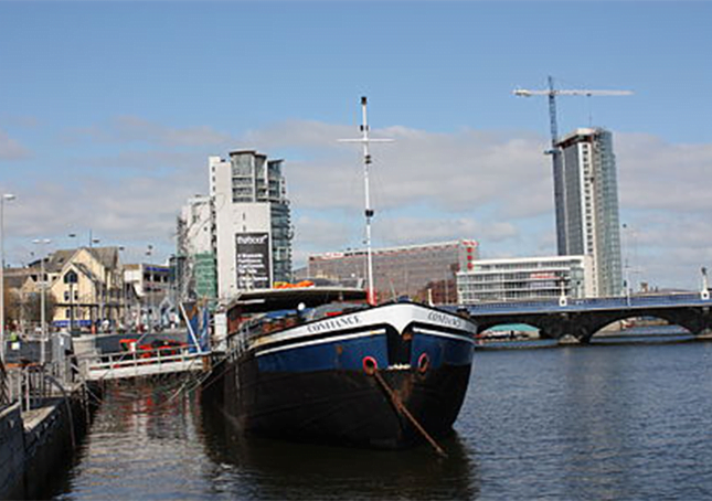
River Lagan

The River Lagan (from Irish Abhainn an Lagáin ‘river of the low-lying district’; Ulster Scots: Lagan Wattèr) is a major river in Northern Ireland which runs 53.5 miles (86 km)[2] from the Slieve Croob mountain in County Down to Belfast where it enters Belfast Lough, an inlet of the Irish Sea. The Lagan forms much of the border between County Antrim and County Down in the east of Ulster.
It rises as a tiny, fast-moving stream near to the summit of Slieve Croob; Transmitter Road runs nearby. It runs to Belfast through Dromara, Donaghcloney and Dromore. On the lower slopes of the mountain, it combines with a branch from Legananny Mountain, just opposite Slieve Croob. The river then turns east to Magheralin into a broad plain between the plateaus of Antrim and Down.
The river drains approximately 609 square km of agricultural land and flows to the Stranmillis Weir, from which point on it is estuarine. The catchment consists mainly of enriched agricultural grassland in the upper parts, with a lower section draining urban Belfast and Lisburn.
There is one significant tributary, the Ravernet River, and there are several minor tributaries, including the Carryduff River, the River Farset and the Blackstaff River.
Water quality is generally fair, though there are localised problems and occasional pollution incidents, mainly due to effluent from farms. Work is proceeding to restore a self-sustaining population of Atlantic salmon to the river.
Ptolemy’s Geography (2nd century AD) described a river called Λογια (Logia). The river name is thought to connect with Old Irish loeg (“calf”) and with *laks (“salmon”).
