River Little Ouse
The River Little Ouse is a river in the east of England, a tributary of the River Great Ouse. For much of its length it defines the boundary between Norfolk and Suffolk.
It rises east of Thelnetham, very close to the source of the River Waveney – which flows eastwards while the Little Ouse flows west. The village with the curious name of Blo’ Norton owes this name to the river – it was earlier known as Norton Bell-‘eau, from being situated near this ‘fair stream’.
In this area the river creates a number of important wetland areas such as at Blo’ Norton and Thelnetham Fen and areas managed by the Little Ouse Headwaters Project.
The course continues through Rushford, Thetford, Brandon, and Hockwold before the river joins the Great Ouse north of Littleport in Cambridgeshire. The total length is about 37 miles (60 km).
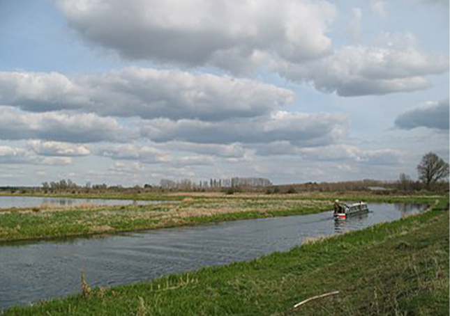
The river is navigable from the Great Ouse to a point 2 miles (3.2 km) above Brandon.
The Environment Agency measure the water quality of the river systems in England. Each is given an overall ecological status, which may be one of five levels: high, good, moderate, poor and bad. There are several components that are used to determine this, including biological status, which looks at the quantity and varieties of invertebrates, angiosperms and fish, and chemical status, which compares the concentrations of various chemicals against known safe concentrations. Chemical status is rated good or fail.
The Environment Agency data for the upper river covers a short section of the Little Ouse, and a long section of the stream that flows northwards from Rickinghall and Botesdale. They have set a target for improving the water quality on this section from bad to poor by 2021.