Barak River
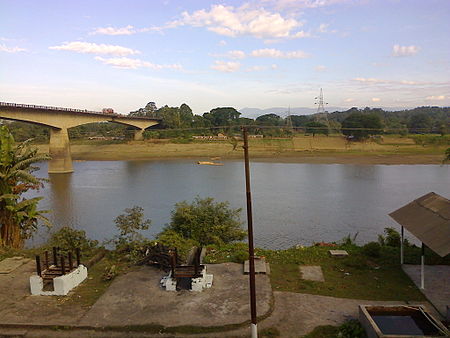
The Barak River flows 900 kilometres (560 mi)[1][2] through the states of Manipur, Nagaland, Mizoram and Assam in India and into the Bay of Bengal via Bangladesh. Of its length 524 km (326 mi) is in India, 31 km (19 mi) on the Indo–Bangladesh border and the rest is in Bangladesh. The upper part of its navigable part is in India — 121 km (75 mi) between Lakhipur and Bhanga, declared as National Waterway 6, (NW-6) since the year 2016.[3][4] It drains a basin of 52,000 km2 (20,000 sq mi),[1] of which 41,723 km2 (16,109 sq mi) lies in India, 1.38% (rounded) of the country.[5] The water and banks host or are visited by a wide variety of flora and fauna.
The principal tributaries are all in India: the Sonai (or Tuirial), the Jiri, the Tlawng (or Dhaleswari, or Katakal), the Jatinga, the Longai and the Madhura.
Tipaimukh Dam is a proposed dam on the river itself.
From its source at Liyai Kullen Village in Manipur state where most people are of the Poumai Naga tribe, the river is known as Vourei. Near its source, the river receives streams such as the Vehrei originating from Phuba Village, the Gumti, Howrah, Kagni, Senai Buri, Hari Mangal, Kakrai, Kurulia, Balujhuri, Shonaichhari and Durduria.
It flows west in Manipur, and borders Nagaland, then southwest to Assam where it leaves India and enters Bangladesh at Bhanga Bazar.