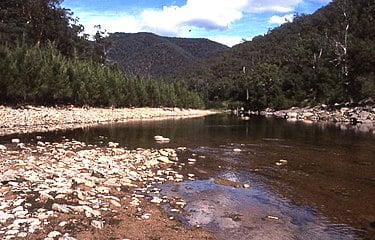
Coxs River

The Coxs River, a perennial river that is part of the Hawkesbury-Nepean catchment, is located in the Central Tablelands, Blue Mountains, and Macarthur regions of New South Wales, Australia.
The Coxs River rises in Gardiners Gap, within Ben Bullen State Forest, east of Cullen Bullen, and flows through the Megalong Valley and parts of the Greater Blue Mountains Area World Heritage Site including the Blue Mountains and Kanangra-Boyd national parks, heading generally south and then east, joined by fifteen tributaries including the Little, Jenolan, Kedumba, Kowmung, and Wollondilly rivers, before reaching its confluence with the Warragamba River to form Lake Burragorang. The river descends 931 metres (3,054 ft) over its 155-kilometre (96 mi) course.[3]
The river is impounded at Lake Wallace where it forms a cooling source for Wallerawang Power Station; at Lake Lyell where it is used for water supply for the city of Lithgow and water cooling for Wallerawang Power Station;[4] and at Lake Burragorang, a major water supply source for greater metropolitan Sydney.
At Wallerawang, the river is crossed by a stone single-track railway bridge, completed in 1870; and a replacement masonry/brick double-track railway underbridge, completed in 1923.[5] East of Wallerawang, the Great Western Highway (A32) also crosses the river, via the Jack Wilson Bridge.
