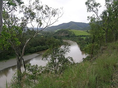
Macleay River

The Macleay River is a river that spans the Northern Tablelands and Mid North Coast districts of New South Wales, Australia.
Formed by the confluence of the Gara River, Salisbury Waters and Bakers Creek, the Macleay River rises below Blue Nobby Mountain, east of Uralla within the Great Dividing Range. The river flows in a meandering course generally east by south, joined by twenty-six tributaries including the Apsley, Chandler, and Dyke rivers and passing through a number of spectacular gorges and waterfalls in Cunnawarra National Park and Oxley Wild Rivers National Park, before reaching its mouth at the Tasman Sea, near South West Rocks. The river descends 460 metres (1,510 ft) over its 298 kilometres (185 mi) course.[2]
The river flows adjacent to the city of Kempsey. At Frederickton the river is traversed by the Pacific Highway via the Macleay River Bridge (Dhanggati language: Yapang gurraarrbang gayandugayigu).[3] At the time of its official opening in 2013, the bridge was the longest road bridge in Australia.[4][5] The river is also traversed by the North Coast railway line.[6]
